The Deliberate Lie on Every Map: What Cartographers Teach Us About Trusting Data
For centuries, mapmakers hid intentional errors in their work. The reasons why reveal something unsettling about every dataset we trust.

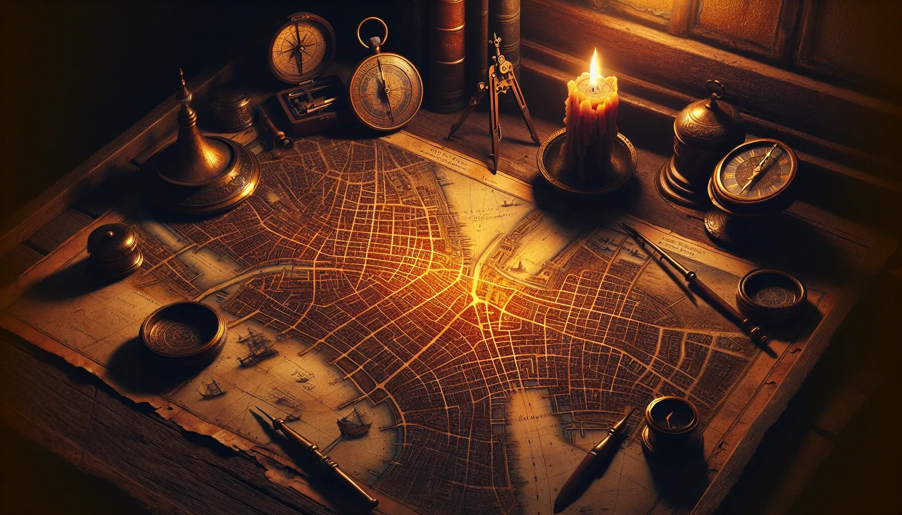
The Phantom Street That Should Not Exist
Somewhere in the atlas of Agloe, New York, there is a town that was invented. It appeared on a map produced by the General Drafting Company in the 1930s, placed there deliberately by two cartographers who gave it a name constructed from their own initials. The town had no buildings, no residents, no post office. It was a fiction threaded into fact, a ghost stitched into the fabric of geography. And yet, years later, a gas station appeared there. A hamlet began to coalesce around a name. Agloe became, in some stubborn and beautiful way, real.
This is the strange gravity of maps. We trust them so completely that reality sometimes bends to accommodate them.
The practice that produced Agloe has a name: cartographic copyright traps, sometimes called paper towns or trap streets. Mapmakershid deliberate errors in their work for decades. A fictional cul-de-sac tucked into a city grid. A lake shifted a half-mile east. A mountain range gently nudged. These were not mistakes. They were signatures, invisible watermarks designed to catch plagiarists. If a rival publisher reproduced your map, they would reproduce your invented street as well, and you would know they had stolen itfrom you.
It is an elegant solution to the problem of intellectual theft. But sit with it a little longer, and something else begins to surface. Every map ever sold to a navigator, a traveler, a soldier, a child tracing her finger over a country she hoped to one day visit, carried within it the deliberate possibility of being wrong. The makers of these maps knew this. They accepted it as the cost of protecting their work. The reader was never told.
What It Means to Accept a Map at Its Word
There is a philosophical tradition, going back at least to Alfred Korzybski's famous declaration in 1931, that insists the map is not the territory. The map is a representation, a reduction, a particular perspective rendered in ink and scale. Every map lies, because every map must choose what to include and what to leave out. The cartographer who decides to show roads but not footpaths, rivers but not seasonal streams, elevation contours but not soil composition, is already making choices that shape how the reader understands the land.

But trap streets add a different layer. They move us from the inevitable distortions of representation into something more deliberate. They remind us that the people who make the tools we depend on have their own interests, and that those interests do not always align perfectly with our need for accuracy.
This is not a cynical observation. It is a structural one. The cartographer who plants a fake street is not, in most cases, trying to deceive you. She is trying to protect her labor. The deception is incidental to a legitimate aim. And yet the effect on you, the person navigating by her map, is the same either way. You are moving through a world that contains errors you do not know about, relying on information that was never fully verified for your benefit.
Sound familiar?
The Dataset as Modern Map
We live now inside datasets the way previous generations lived inside geographies. The maps we navigate are invisible, embedded in the systems that shape our credit scores, our insurance premiums, our health recommendations, and the news that surfaces in our feeds each morning. These datasets are produced by institutions with their own interests. They contain choices about what to measure and what to ignore, what counts as an error, and what counts as acceptable variance. And some of them, perhaps more than we would like to believe, contain their own version of trap streets.

In 2020, researchers discovered that a widely used healthcare algorithm, applied to millions of patients across American hospitals, had been systematically underestimating the needs of Black patients because it used healthcare costs as a proxy for health needs. The costs were lower not because the patients were healthier, but because they had historically received less care. The error was not malicious in the cartographic sense; it was structural, baked into the tool's design. The institutions that used it trusted it because it had been produced by credentialed individuals with legitimate aims. The patients navigating the healthcare system had no idea the map they were being measured against was wrong.
This is the trap street problem at the civilizational scale. We have outsourced enormous amounts of trust to datasets and the algorithms that process them, and we carry almost none of the knowledge required to interrogate whether those datasets are accurate, complete, or shaped by interests that diverge from our own.
Trust as an Act of Inference
Here is what I find most interesting about the cartographic lie: it forces us to think carefully about what trust actually is.
We tend to think of trust as binary. Either we trust something, or we do not. But this is not how trust works in practice. When you use a map, you do not trust it absolutely. You hold a low-grade awareness that it might be outdated, that a road might have been rerouted, that the scale might be slightly off. You trust it provisionally, sufficiently, pragmatically. You trust it until experience suggests otherwise.

The philosopher Onora O'Neill, in her 2002 Reith Lectures, argued that we have confused trust with something she called trustworthiness. Trust, she said, is what we extend to others. Trustworthiness is what we can actually assess. We cannot directly inspect another person's intentions, but we can look at their track record, their incentive structures, their transparency about their own limitations. What we ought to be asking is not simply whether to trust something, but whether it has demonstrated the qualities that make it worthy of trust.
Applied to data, this distinction becomes urgent. A dataset is not trustworthy simply because it is large, or because it was produced by a respected institution, or because it is expressed in the authoritative language of statistics. It becomes trustworthy when we can examine how it was built, what choices shaped it, and whether those choices were disclosed.
The trap street tradition, strange as it sounds, had a kind of perverse transparency to it. Within the cartographic community, the practice was known. Professionals who worked with maps understood that errors might be intentional. The asymmetry of knowledge fell between producers and general consumers, but it was not a secret kept from everyone. Compare this to the opacity of most modern algorithmic systems, where even the organizations deploying them often cannot fully explain the logic driving their outputs.
Learning to Read the Territory Again
There is something I keep returning to when I think about Agloe. The invented town that became real. The error that congealed into fact because enough people accepted it without question and built around it. This is not just a charming historical footnote. It is a description of how reality is constructed, incrementally, from the maps we agree to share.

We are always building around our maps. The data we accept shapes what we build, whom we fund, whom we treat, whom we see. When the map contains a ghost, we sometimes build around the ghost too, and then we cannot understand why the thing we built feels hollow at its center.
The corrective is not to distrust everything. A person who refuses to use any map because maps can contain errors will not navigate well. The corrective is to develop what I can only call a cartographic literacy: an awareness that every representation was made by someone with a perspective and an interest, that the act of making a map is itself an act of power, and that our acceptance of any map is a choice we are making, consciously or not.
Ask who made the dataset. Ask what they were trying to protect. Ask what the trap streets might be, and where, and whether you would ever know if you walked into one.
The territory is always larger, stranger, and more complicated than the map. That is not a reason to put the map down. It is a reason to hold it a little more lightly, and to keep looking up.